Fennoscandia
Fennoscandia is a term that represent geographically and geologically regions that comprise:
- Scandinavian Peninsula
- Finland peninsula
- Karelian peninsula
- Kola Peninsula
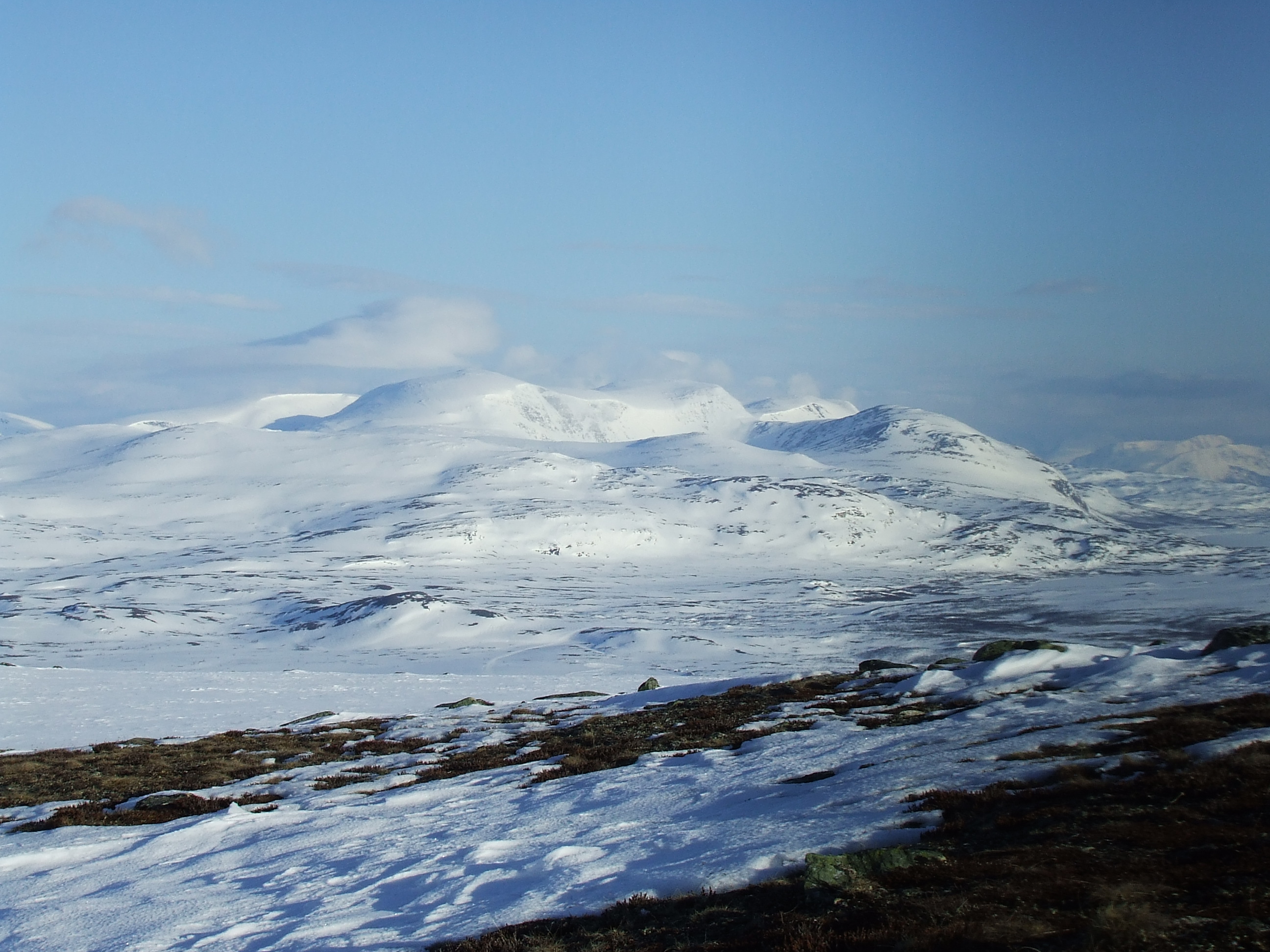
Scandinavian Peninsula
Scandinavian peninsula is located on the northern Europe part of the Fennoscandia which covers the current Norway northern Finland and Sweden. It occupies part of the Baltic shield. First people to settle were about 1200 years ago.
Norway. It is located in the northern Europe region of the Fennoscandian. According to archeological study and evidence the area was settled around 8500 BC in the era of the stone age where by the ice sheet of the last stage did recede. In central Norway alone there are some 300 rock carvings. Also in the far north of Norway, the Alta Rock Carvings are an extensive and important collection of petroglyphs dating from 4200 to 500 BC. UNESCO declared the Alta petroglyphs as the most important piece of evidence in favor of the existence of human occupation and activity in the confines of the Great North in the prehistoric period.
Finland. In Finland, there are 127 rock art sites found up to date. the paintings feature people, boats, elk, fish, and other mysterious figures. with The Comb Ceramic Culture who lived in what is now Finland between 5000 BC and 2000 BC is credited with their production. The rock art paints used included a mix of iron oxide, blood, and animal fat or egg, making it more moisture and water resistant.
Sweden. In Sweden the Northern Bohuslän is a land of granite bedrock, the area was impacted by the Ice Age which scraped over the area as the ice cap slowly receded northwards, leaving behind exposed rock faces, and at places heavily gouged by the sheer weight and volume of the ice sheet, which was 1000 to 2000 meters thick places at places. These clean slabs of rock were as a clean canvas for the Bronze Age story telling. artists, and territorial claim markers that began around 1500 BC.
There are at least 1,500 known rock carving sites in Northern Bohuslän according to UNESCO records of Sweden, and each site consisting a large number of images, more findings are coming to lights as the research continues. The sites are concentrated in certain areas: the parish of Tanum has over 360 recorded sites.
There is a rich variety in the images, 13 categories of which have been identified: cup marks, discs, circles and wheels; boats, ships and sledges; animals; humans; hands; foot-soles and feet; wheeled vehicles; primitive plough’s; nets, traps and mazes; trees; weapons and other equipment; and other images. -UNESCO.
Karelia. White Sea carvings. there has been over 70 ancient settlements been identified in association with the White Sea carvings. It is considered as the largest Neolithic site in the Karelia region. As pointed out before the petroglyph sites found in Norway and Sweden are many, the Karelian petroglyphs are the only major rock art sites associated with the Ugro-Finnic peoples.
Karelia is a region of land that is much more significant to Finland, Sweden because of the early history of the peoples that settled in the Gulf of Finland and the Karelia Isthmus. It also became important to Russia later as they became a Nation and encroached on the East Europe and Fennoscandia. It is located in the northern Europe . The people that currently occupy the Karelian land, has experienced had many major upheavals during 1930 to 150’s9 . There were forced population transfers, ethnic cleansing, and destruction from theater of war. Early on in history the encroachment of Russia towards Fennoscandia, Europe and the far North fo the Nordic region was a cause for bitter territorial wars over by the Novgorod republic and the Swedes starting in the 13th century. Karelia area currently is divided into two halves, one-half that is under Russia control and the other half under Finland control. Most of the Karelia region is significantly a federal subject of the Russia.
The Kola Peninsula.
Kola Peninsula is located in the northwest of Russia .it lies to the north of Arctic Circle. It is bordered by the White Sea in the east and the southeast plus Barents Sea to the north. The peninsula geographically does occupy the northeast edge of the Baltic shield. In terms of administration, the peninsula covers four districts that is lovozersky, kolsky, kandalaksky and tersky districts. There are a number of available resources in the region that include mineral and ores. Construction materials can also be gotten in the area such as; quartzite, granite and also limestone. The peninsula has got high temperatures during the winter. The monsoon winds are typically most common in the area. Other types of winds prevail in the winter seasons. The precipitation of the peninsula is high about 1000mm on mountains, 612-700mm in the murman coasts and 516-600mm on other areas
The history of the peninsula. The Nomadic Sami peoples (Lapps) are the indigenous inhabitants of northern Fennoscandia. In the 7 -5th millennium BC, the northern part of the region was already occupied. In the 3rd and 2nd millennium, the peninsula was occupied by people who came from the south that is the territory of the modern Karelia. In the end, of the 1st millennium the region was fully occupied by Sami people. They did not have their own state.They lived in clans and were ruled by elders. They did engage in herding and also fishing activities. By the end of the 12th century, the Russian Promors discovered the peninsula and the fish riches.
The Promors were followed by a tribute that did collectors from the Norvorogod republic. This was later gradually followed by the tribute owe the region and the peninsula gradually became part of Norvgorodia lands
In the 13th century, it was evident that there was a need to familiarize the border between the republic of Novgorod and the Scandinavian countries. In the 15th century, Novorgorodians started the process of establishing their permanent settlements in the peninsula. Russian migration did continue in the 16th century where they established new settlements. In the second half of the century, there was a demand that the Tsardom of Russia, to cede the whole of peninsula
For more information visit